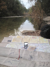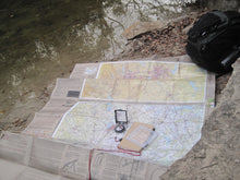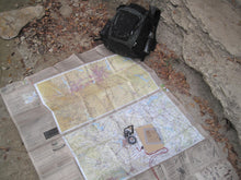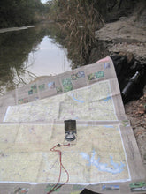
Product Identifier: ESC-TX-DAS-007
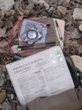
Emergency Survival Chart- Texas- Dallas Area, South- Edition 007 (Founding Member)
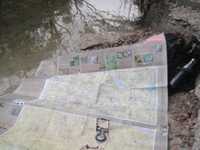
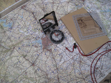
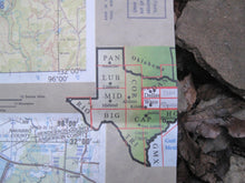
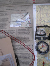
About ESC-TX-DAS: This ESC is the second ESC to make it to print. It covers the Dallas, Fort Worth metro and areas to the south. If you spend time on the south side of Dallas or have an evacuation plan that goes east toward the piney woods, this is what you want. More specifically, the four 1:250,000 scale maps are titled Dallas, Waco, Tyler, and Palestine. It connects to Dallas Area North (ESC-TX-DAN) to the north and the Capital of Texas (ESC-TX-CAP) to the south.
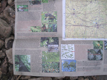
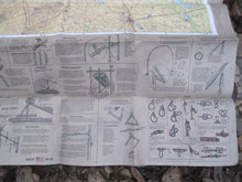
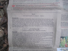
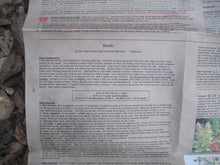
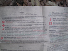
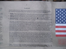
An ESC is not just a set of beautiful topographic maps printed on heavy duty, waterproof material. It is a survival guide for emergency situations and planning purposes. Each one is customized for the area it covers.
It's ideal for adventurers, hikers, campers, hunters, overlanders, firefighters and emergency services personnel, aircrews, and anyone who wants to be self-reliant.
Designed and printed in the USA. Veteran owned.
See EmergencySurvivalCharts.com for more info.


